“wayfinding”
/ˈweɪˌfʌɪndɪŋ/
“The process or activity of ascertaining one’s position, planning and following a route”
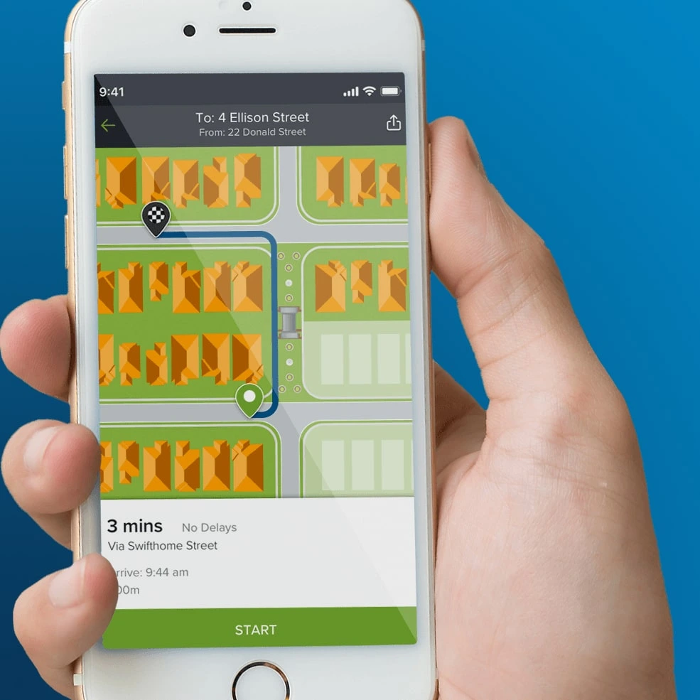
Wayfinding in the digital and mapping context refers to the process of navigating from one place to another, typically using cues, signage, or maps to determine the best route. In the digital era, wayfinding increasingly takes place on screens, through web and mobile applications that provide walking directions. Wayfinding is commonly used for in event spaces or public areas, transport hubs, university and hospital campuses, and large public precincts.
These platforms help users orient themselves, locate points of interest, and reach their destinations with confidence. In digital mapping contexts, wayfinding is about more than just displaying a route, it involves designing intuitive, real-time guidance that aligns with how people move and make decisions on foot.

For walking directions, effective digital wayfinding relies heavily on accurate maps, device geolocation, and intelligent route logic. The experience must account for pedestrian pathways, laneways, crossings, building entries, and areas inaccessible to vehicles, all factors often overlooked in driving directions. Wayfinding may also provide special purpose routing logic, for example accessible or wheelchair routing that avoids stairs or curbs, or bicycle routing that understands shared pathways and pedestrian only pathways. Event specific wayfinding is often needed when an even is run in a normally public space, but which has temporary boundary fencing, entrance gates, and event infrastructure, which make tools like Google Maps walking routes unusable for the duration of the event.

Mobile and web based wayfinding tools increasingly incorporate features like indoor navigation, real time congestion updates, and augmented reality overlays to guide users in more complex environments. Integration with public transport timetables, event schedules, or service availability can also enhance the usefulness of wayfinding apps. Ultimately, good digital wayfinding empowers people to explore their surroundings freely, minimises confusion, and supports accessibility for all types of pedestrians, from locals navigating their daily routes to visitors discovering a place for the first time.
AR (Augmented Reality) can be used on modern mobile devices to provide new and intuitive ways to help navigate around spaces and identify nearby Points Of Interest.


See also:
