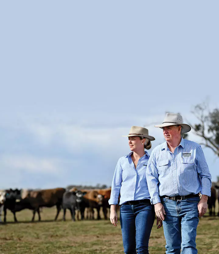
Mobiddiction has experience working with agriculture, forestry, and regional industries to deliver practical digital systems that hold up in the real world. That means tools that work in the paddock and in the cab, handle patchy connectivity, and still integrate cleanly back into the platforms that run the business. Our work in this space blends product thinking, secure cloud delivery, and location aware services, with the kind of detail that matters when outcomes are measured in compliance, productivity, safety and time saved.
Local Australian AgriTech and
Farming Programs
Real Time Platforms for
Livestock and Rural Supply Chains
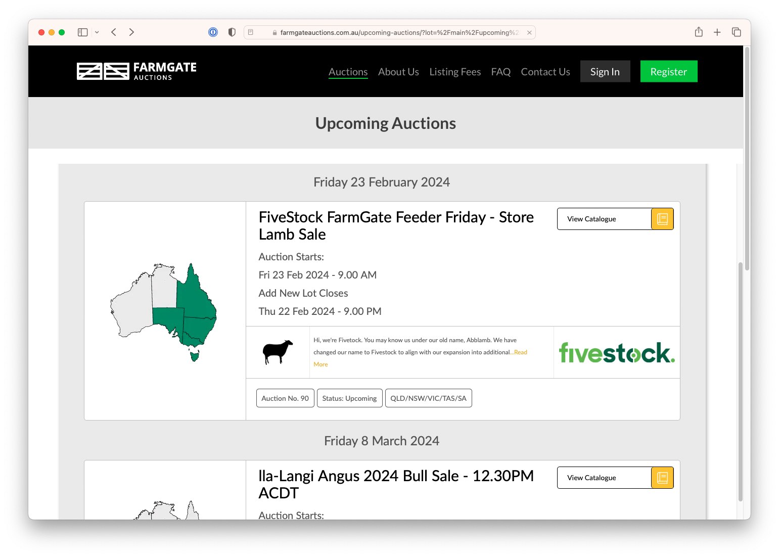
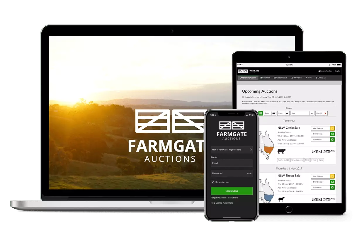
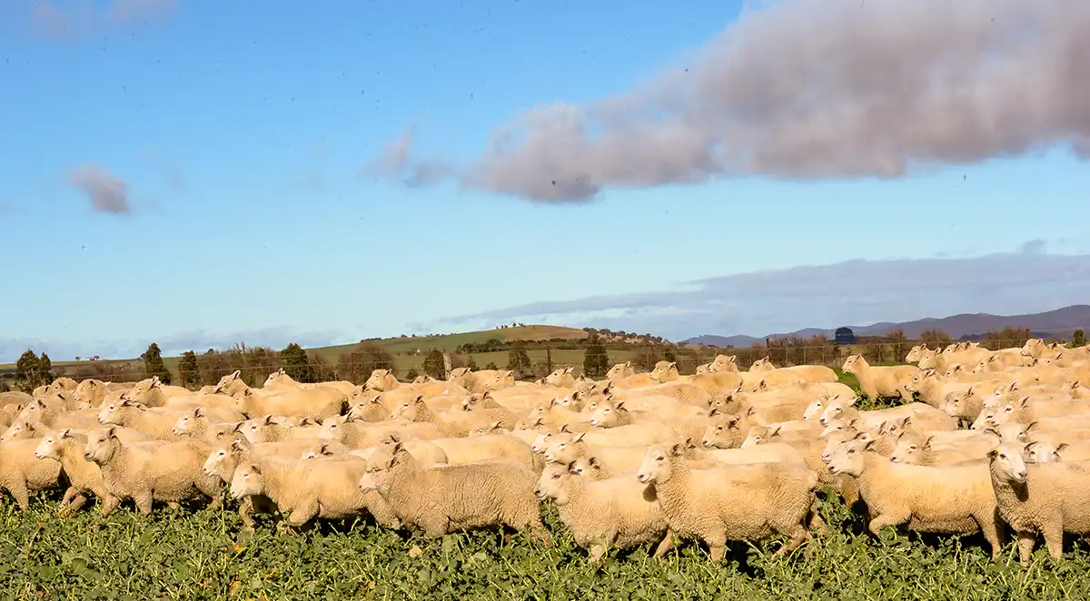
Farmgate Auctions is a good example of where “agritech” is at the core of the business. For online livestock auctions, the platform has to manage live bidding, time critical state changes, seller and bidder identity, and a clean audit trail, while staying responsive under load.
![]()
We bring the engineering discipline required for real time auctions, plus the security foundations needed to protect personally identifiable information (PII) such as bidder and seller details and reduce the risk of auction fraud and misuse.

In Field Tools
Designed for Farmers
The Drought and Supplementary Feed Calculator for NSW-DPIRD Agriculture is a specialised decision support tool built for in field use. These tools succeed or fail on usability and speed, not feature count.

The focus is on clear inputs, reliable results, and a design that respects how farmers work day to day, including time pressure, mobile first usage, and the need for straightforward language. We approach this kind of delivery as a product, with continuous improvement informed by real usage and feedback, not a one off release.

Precision Operations for
Forestry and Compliance
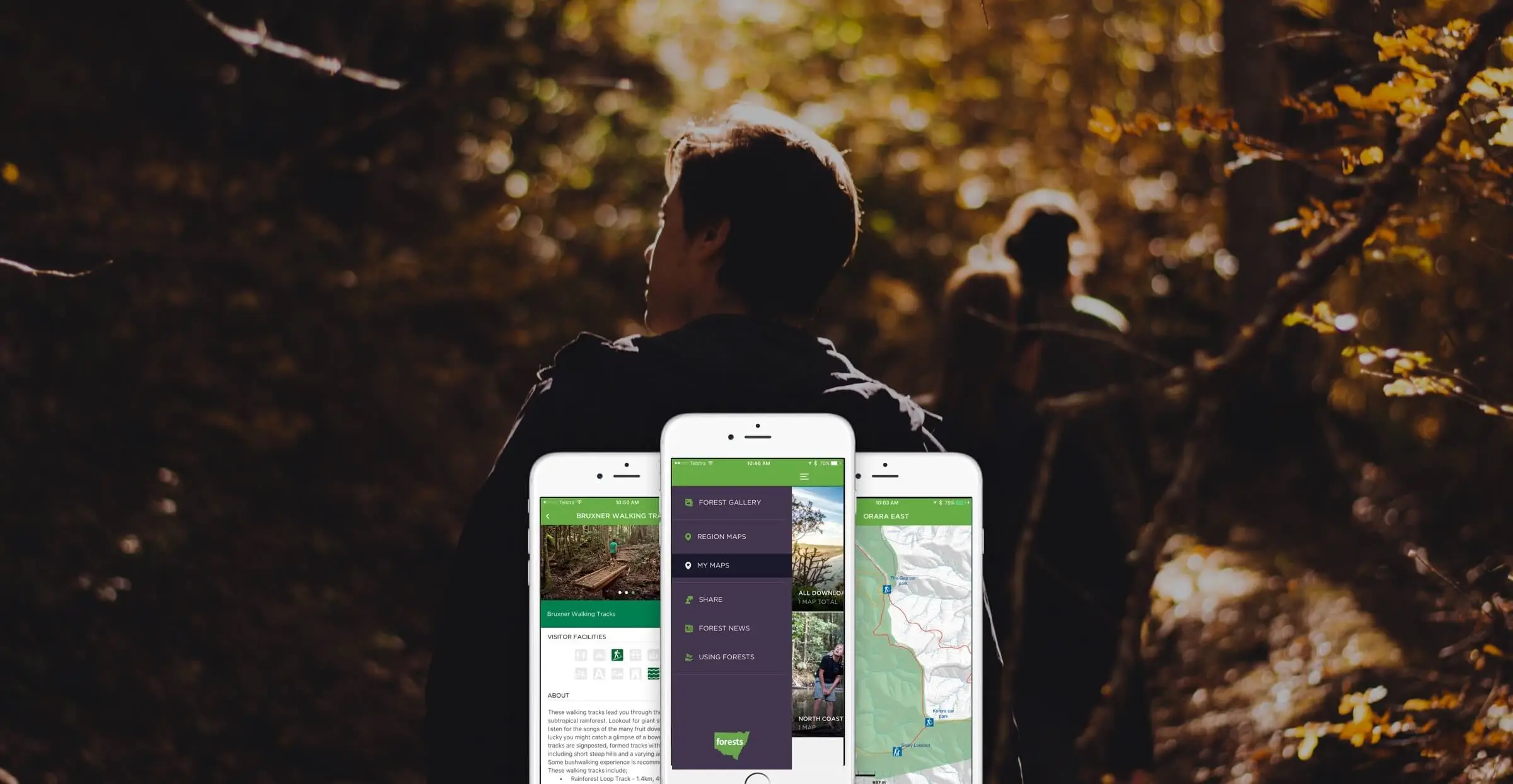
Forestry Corporation of NSW “MapApp” shows what happens when geospatial is not a visual layer, but an operational control. MapApp combines high precision RTK GNSS (Global Navigation Satellite System) positioning with deep ESRI ArcGIS integration to support field operations and planning. A key outcome is the dynamic boundary warning system that provides in cab alerts as harvesters approach defined boundaries, supporting safer operations and better compliance with land use and Environmental Protection Authority (EPA) requirements. This is also the kind of system that needs careful integration with work management and planning platforms, so spatial truth and operational truth stay aligned.
Sector Experience
That Translates into Better Delivery
We have spent years delivering technology into field based environments, and it changes how we design and operate systems. We understand the practical constraints, the difference between “nice to have” and “works every day”, and the importance of trust in the data.

Just as importantly, we are comfortable working in the language of farming, forestry, and regional operations, whether that is around seasonal workflows, compliance boundaries, livestock movements, or on ground logistics. That domain familiarity reduces discovery time, improves requirements quality, and leads to solutions that get adopted.
Field Experience that Leads to a Better Digital Outcomes.
Get in touch for a discovery session with our farming and farm tech team.