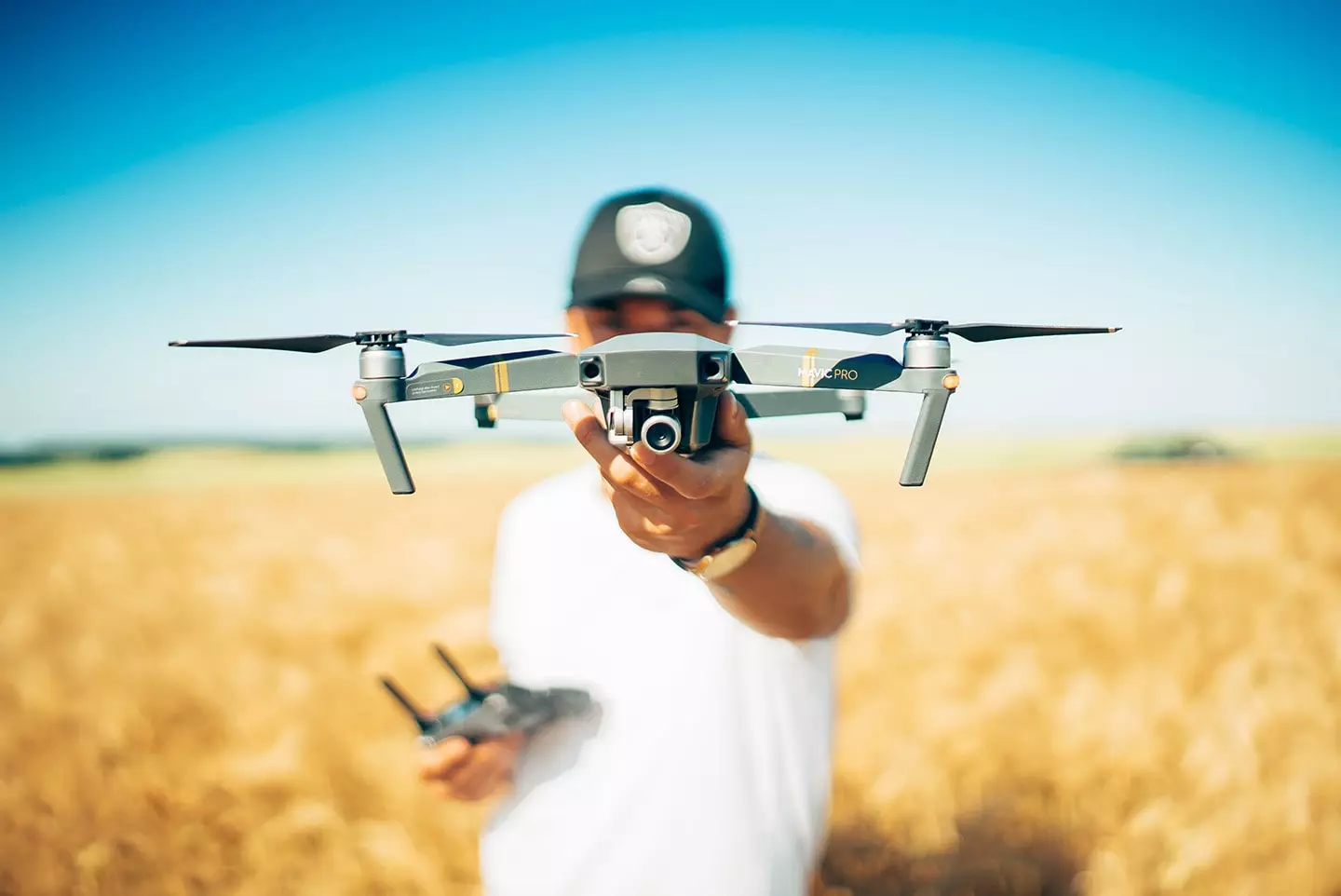
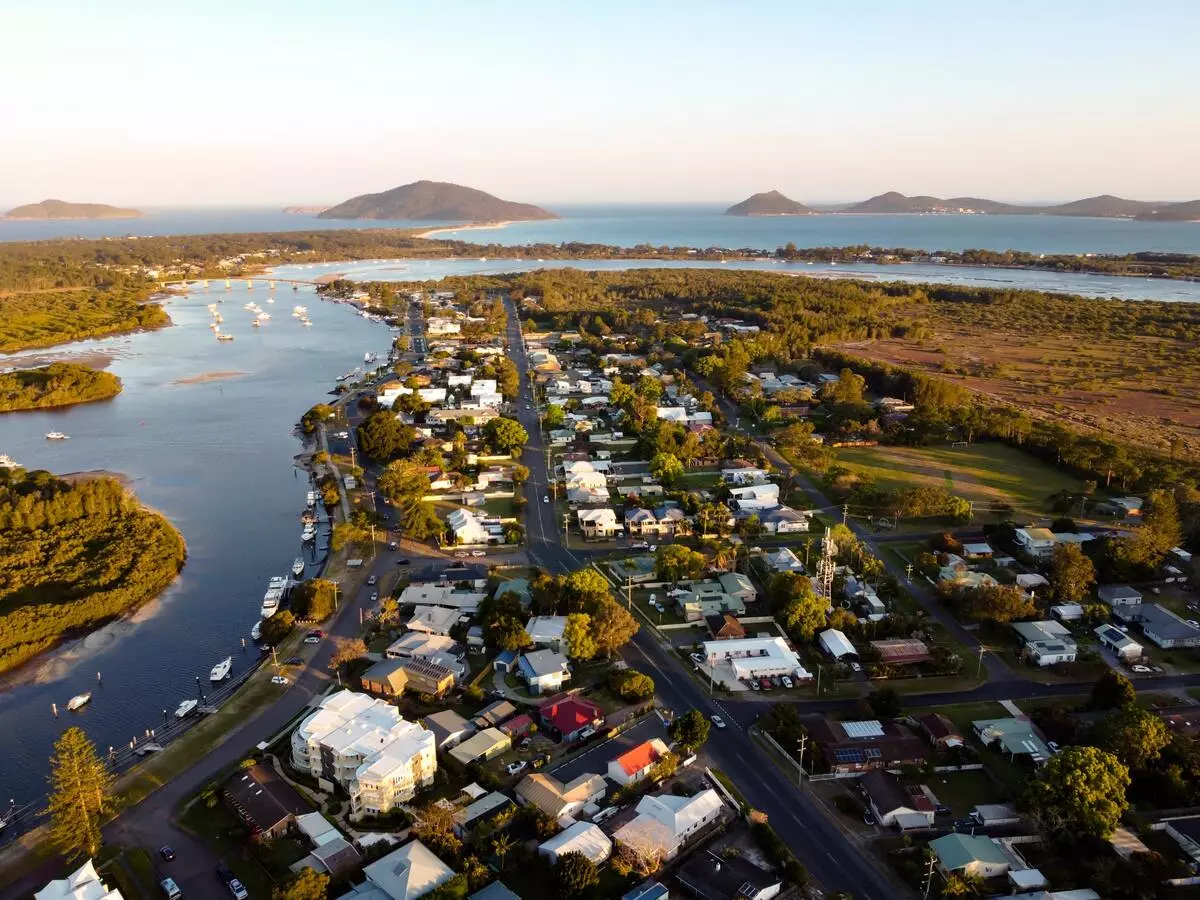
Drones have fast become indispensable tools across a number of industries from farming, to logistics to health and more. From custom maps to AR viewers…
High-resolution imagery
Creating awesome digital Maps with Drones
Features such as high-resolution imagery, custom map, temperature and motion sensing and many other features which makes it a very useful tool for your business depending on the use case.
When it comes to effectively leveraging drone technology, Mobiddiction’s Drone as a Service (DaaS) offering is the latest addition to our technology and innovation offering for businesses in Australia.
Drones as a Service
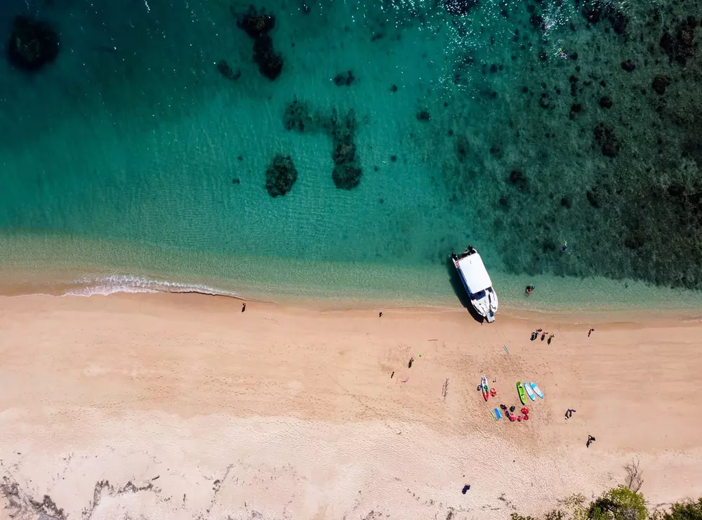
Drone Imagery and Footage
This service is for businesses, government or enterprises who are looking to record images or videos from a drone for purposes to capture aerial views.
Industries that can utilise this service are tourism (to show off outdoor vantage location points and then have a measure of latitude and longitude to showcase a much larger area than a normal photo can take.
Photos and videos can be captured in different lighting and be a great way to provide users a bird’s eye view of your venue or attraction. Use these images and videos on your website, TV screens, TV commercials or any locations where you would like to showcase.
- Promote your venue or facilities using private custom map
- Use Drone footage for marketing and TV commercials
- Use drone footage to educate on safety at your venue
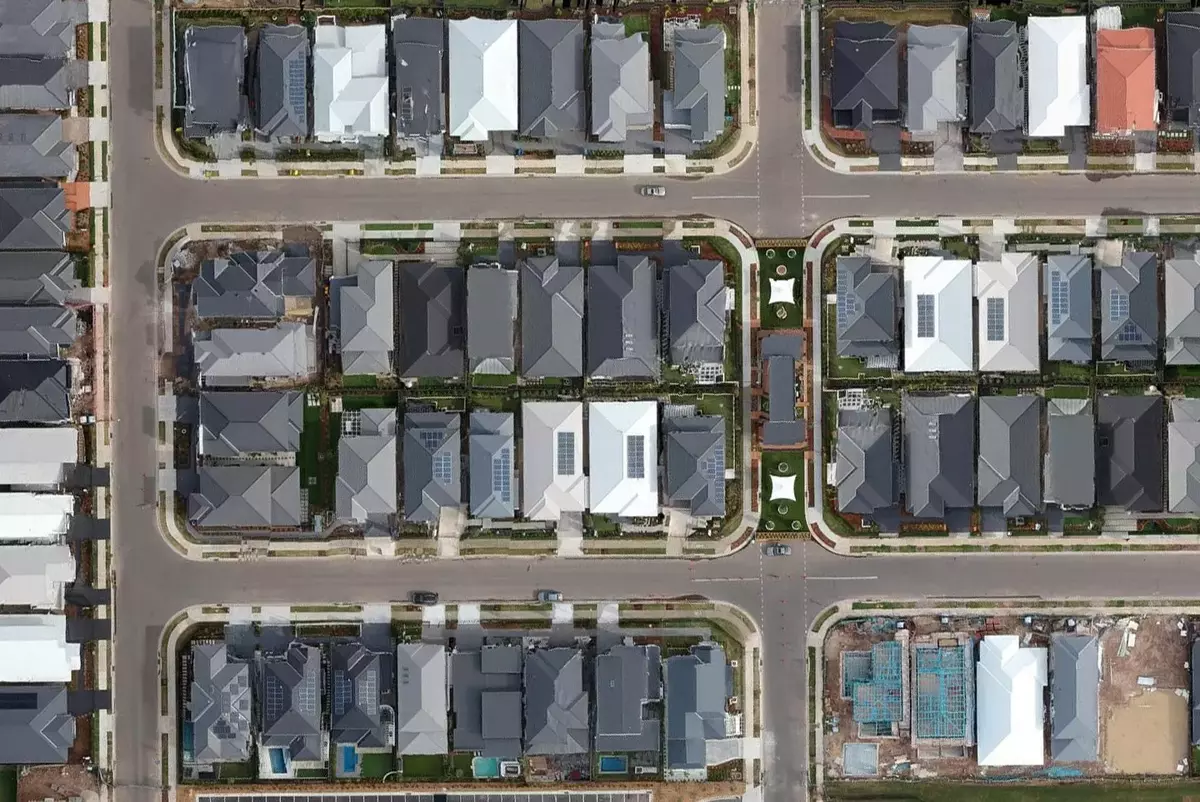
Custom locations
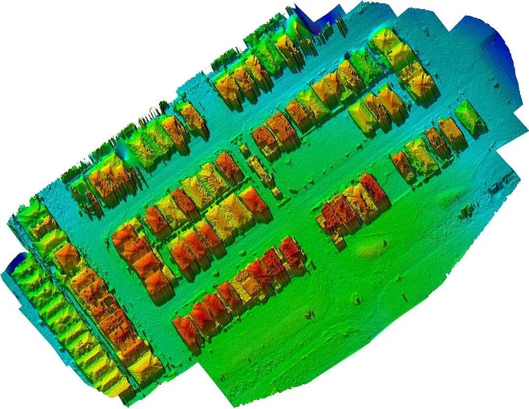
Drone for Custom Mapping
If your venue or location is classified as a private venue or outside of the normal Google Maps area, then it is likely there is not a well-defined Google Map or a location service for it. You need a custom map.
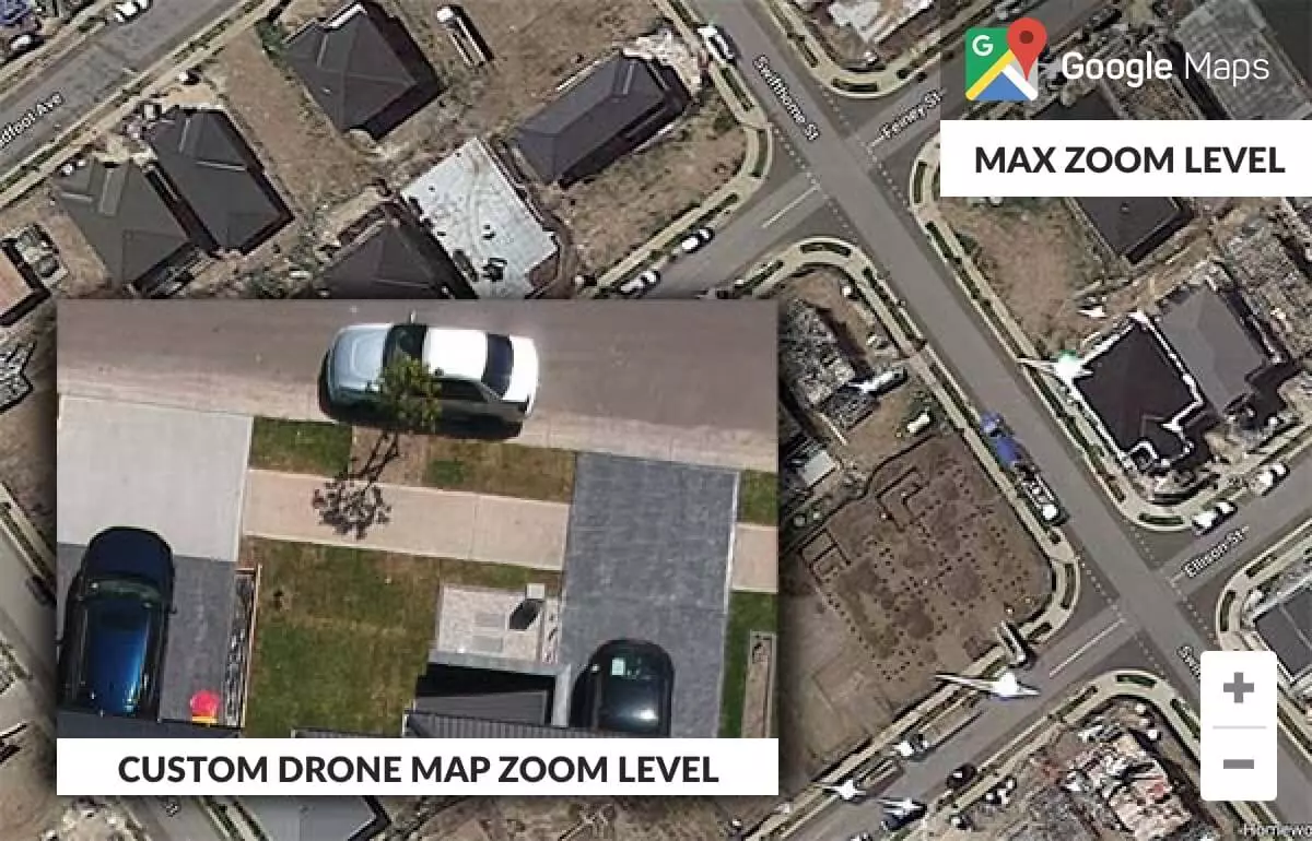
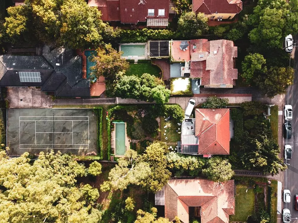
Google maps vs Custom Map
Sometimes you also have to wait or rely on when Google or a mapping service provider may update the map for it to be more precise to your current location. There is also a restriction on the zoom level available and hence you may be missing detail.
There are a lot of areas which Google or Mapping providers do not cover, and if they do there are areas that are not updated to the level of detail that may work for your business.
- Cover areas which are not generally found on Google
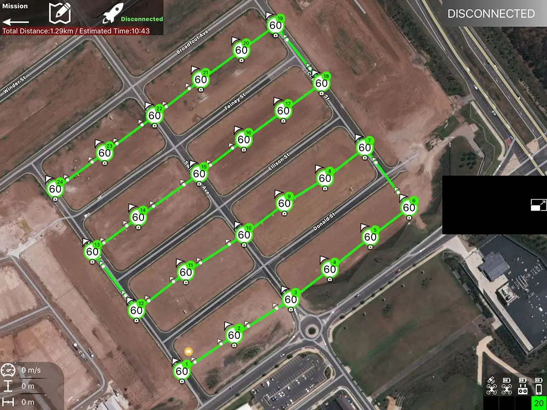
- Capture high resolution mapping with latitude and longitude
- Coverage with much larger zoom levels for your private map
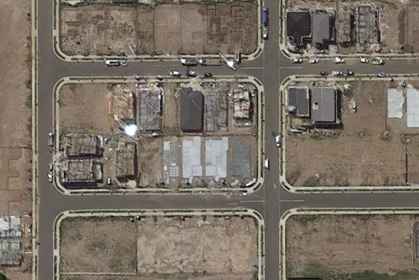
- Aerial mapping of temporary infrastructure (such as events, festivals etc)
Drones at Mobiddiction
Mobiddiction is an award winning Australian based tech company working closely with many different technology and innovation programs across Government and Enterprise clients.
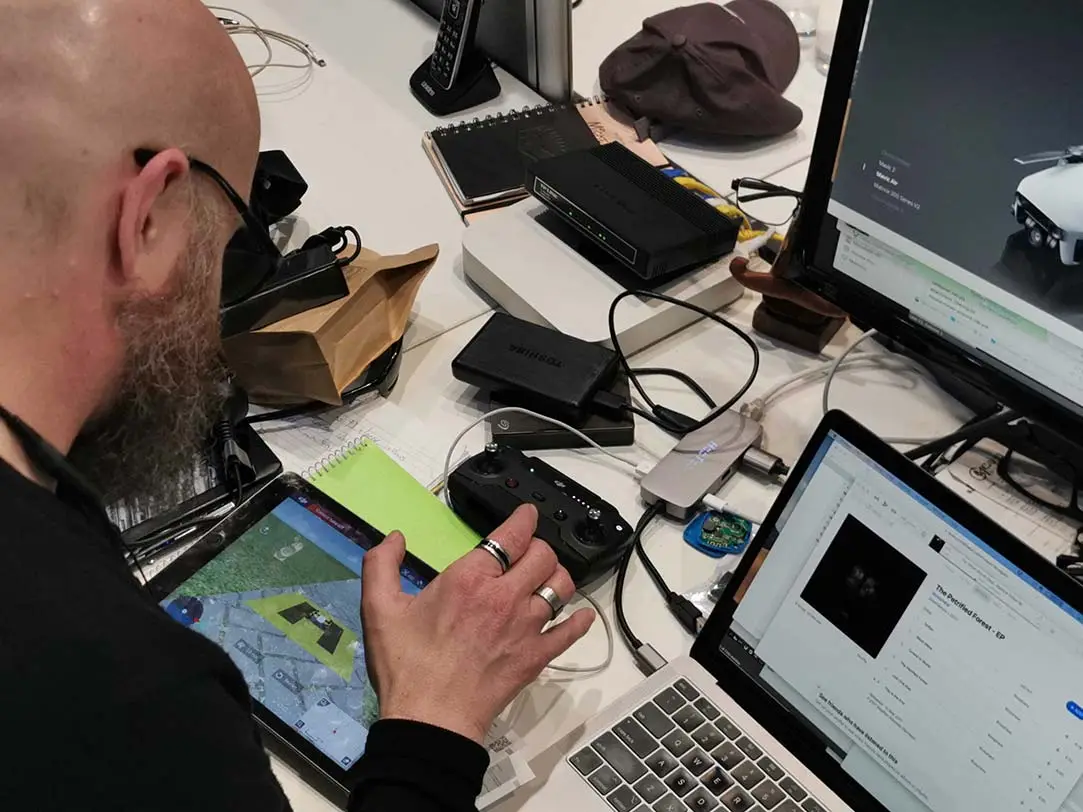
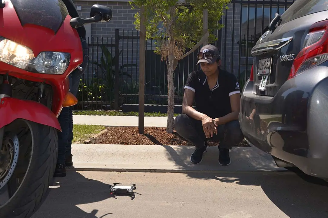
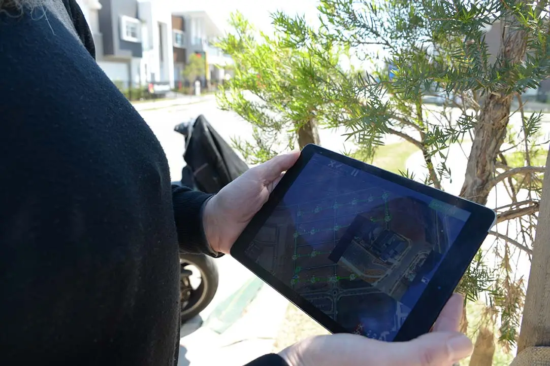
We use sophisticated tools, pre-program the drone depending on the nature of the task at hand and also use complicated stitching software to come up with a much accurate private custom map using Drones.


