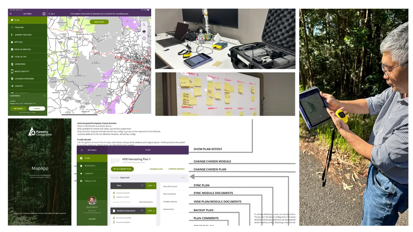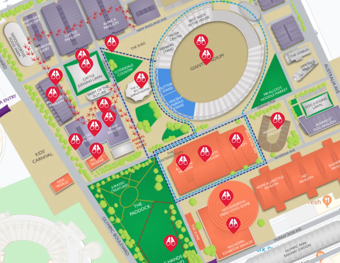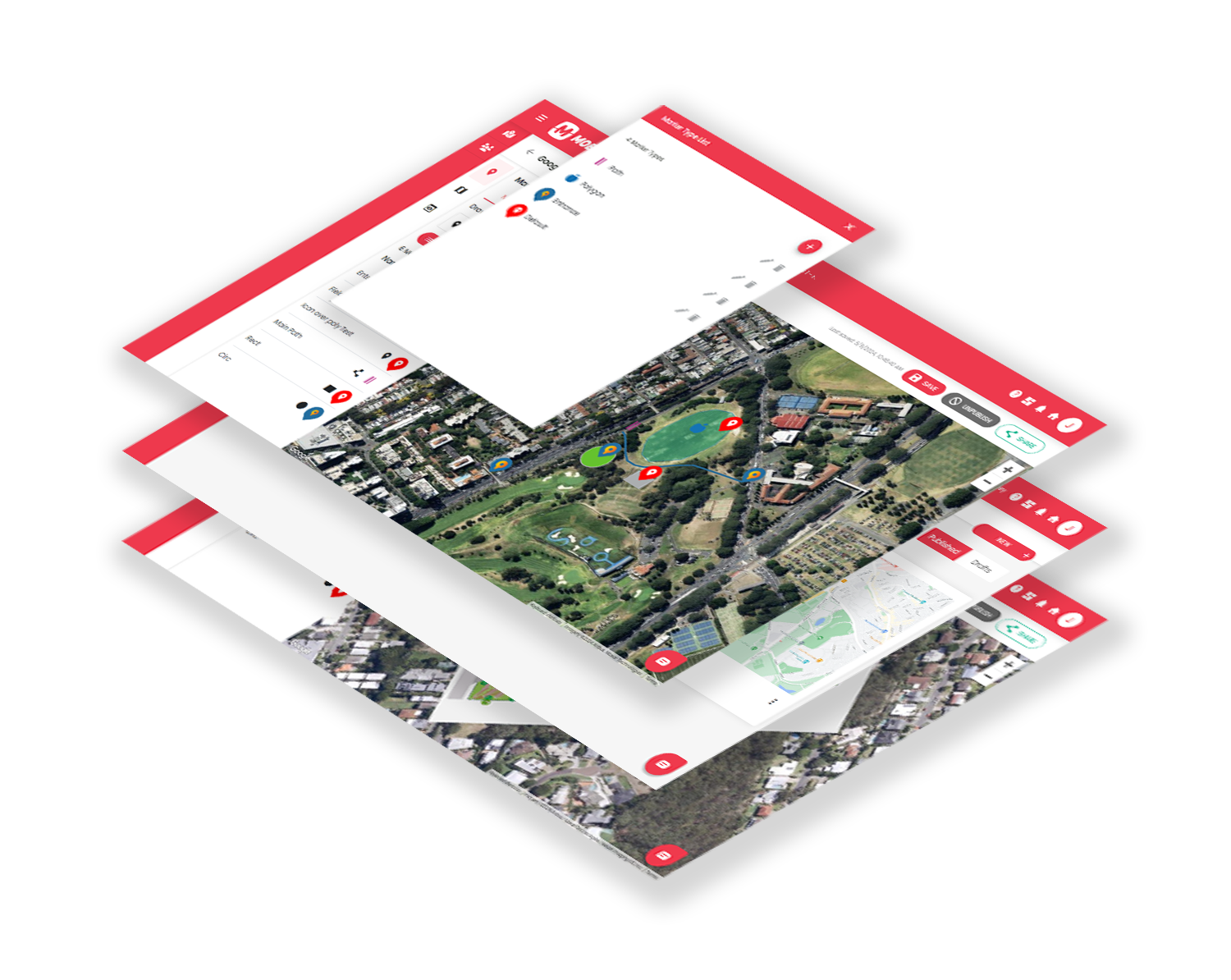
We design and support digital mapping systems that combine dependable data pipelines, cloud services, spatial APIs and well designed interfaces. Our work includes large public venues, regulated environments, infrastructure planning tools, agricultural operations, visitor navigation and consumer facing maps. We work extensively with ESRI ArcGIS, custom APIs, geolocation services, MapBox, high accuracy GNSS receivers and cloud based spatial services.
Our experience also includes a long term partnership with NSW Spatial Services on the NSW Survey Marks program, where we helped surface complex geodetic data for industry professionals and the public.