
Mobiddiction has been building mapping platforms, location aware and geospatial programs since 2012, working across government, enterprise, public safety, major events, memorial parks, field mobility and visitor experience programs. That history matters because serious mapping projects are rarely just about putting pins on a map.
They usually involve complex data, changing environments, legacy systems, accessibility needs, privacy requirements, operational workflows, integrations, field conditions, public-facing user experience and long-term support. A map might be the part the public sees, but behind it there is often a larger platform making sure the information is accurate, current, secure and useful.
This is why Mobiddiction builds mapping platforms, not just map screens.
Why Mobiddiction Builds Mapping Platforms
Mapping Projects Need Practical Delivery Experience
A good map has to work in the real world.
It has to account for how people actually move through a place, how staff update information, how data is
collected, how third-party systems are integrated, and how the platform performs when usage spikes.
For a major event, that might mean supporting hundreds of thousands of visitors during a short operating window. For a government program, it might mean managing sensitive operational data, role-based access, audit trails and accurate public information. For a field mobility tool, it might mean keeping maps usable in remote areas with poor or no connectivity.
The common thread is that maps are rarely isolated. They are usually part of a broader digital system.
Mobiddiction’s mapping work has grown from early location-aware public programs such as Wild About Whales through to major government platforms, event wayfinding systems, custom precinct maps and enterprise geospatial tools.
From Wild About Whales To Modern Mapping Platforms
Wild About Whales was one of Mobiddiction’s first map-based programs, beginning around 2011-2012
The project helped users report whale sightings, view recent sightings on a map and plan whale-watching activity around NSW National Parks. At the time, smartphones, mobile GPS and app-based reporting were still relatively new. The program needed to combine user-submitted location data, moderation workflows, map display, seasonal activity, public engagement and long-term platform support. That early work is still relevant to how Mobiddiction thinks about mapping today. A useful map is not only a visual layer. It is a combination of location data, user experience, trust, governance and operational support.
District Docklands: Mapping A Retail And Entertainment Precinct
One of the most recent examples of this experience is District Docklands.
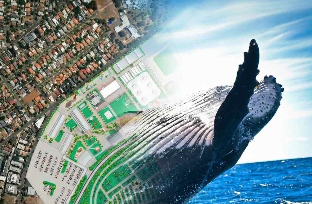
District Docklands is not a simple shopping centre map. It is a retail and entertainment precinct with shops, dining, entertainment, parking, transport connections, multiple areas and significant outdoor space.
For a precinct like this, the map needs to help visitors understand the destination as a whole. It needs to support discovery, navigation and wayfinding across a mixed environment where people may be looking for a store, a restaurant, an entertainment venue, a car park, an amenity or an accessible route. This kind of project shows why custom mapping platforms matter. Standard maps can show the surrounding streets, but they do not necessarily explain the visitor experience inside a precinct. A custom map can reflect how the place is organised, how people move through it, and what information they need when they are already there. The District Docklands also represents the latest generation of Mobiddiction’s custom mapping work, including Mapiddiction features such as custom maps, AI-powered wayfinding and accessibility-aware routing.
View our Gallery of some custom maps the team at Mobiddiction have designed.
SharkSmart: Public Safety Mapping At Scale
Mobiddiction’s work on SharkSmart is a different kind of mapping challenge.
SharkSmart is a long-running NSW Government public safety program that provides beach users and government teams with location-aware and real-time shark safety information. The platform brings together multiple sources of information, including tagged shark detections, drone operations, lifeguard and user generated sightings, Smart Drumline activity, Shark netting operations and safety alerts. The public-facing map is only one part of the ecosystem. Behind it are data flows, alerting workflows, mobile apps, smartwatch apps, administration tools, dashboards, field reporting and third-party integrations.
For public safety mapping, accuracy and reliability matter. Information must be timely, location-specific and managed through appropriate workflows. SharkSmart demonstrates Mobiddiction’s ability to support a long-term mapping platform where operational data and public communication need to work together.
NSW Survey Marks: Government Geospatial Credibility
NSW Survey Marks is another important proof point in Mobiddiction’s mapping history. Delivered for NSW Spatial Services, part of the NSW Department of Customer Service, the platform helps make complex geodetic and survey information more accessible to industry professionals and the public.
This type of work requires more than a general mapping interface. It involves authoritative spatial data, government systems, professional users, data accuracy, and careful presentation of technical information in a usable form. For procurement teams and government buyers, projects like NSW Survey Marks demonstrate that Mobiddiction has experience working with serious geospatial data and government spatial platforms, not just consumer-facing maps.
Royal Melbourne Show: Event Wayfinding In A Temporary Environment
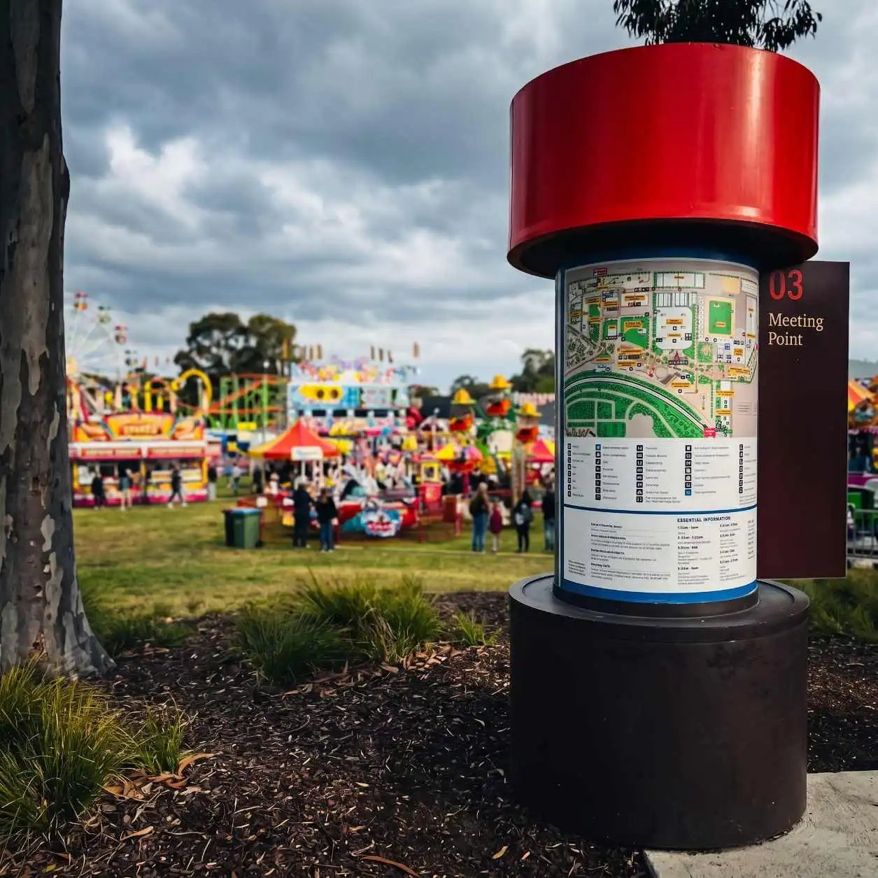
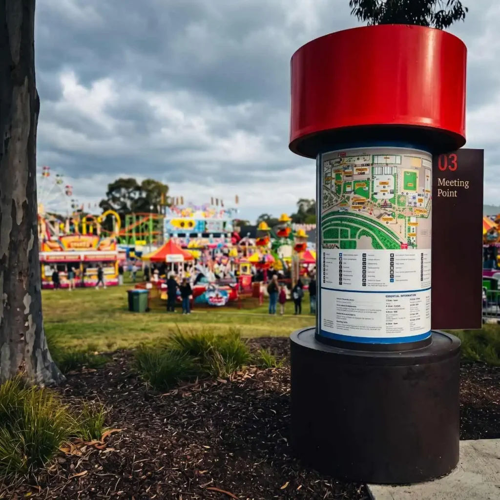
The Royal Melbourne Show highlights another common mapping problem: large events change the shape of a place. During normal operations, public mapping tools may understand the surrounding roads and venue location. During the event, the site becomes something different. Temporary fencing, gates, attractions, animal areas, carnival rides, food vendors, amenities and access restrictions all change how people move through the venue. For the Royal Melbourne Show, Mobiddiction delivered a dynamic web map optimised for mobile browsers, with blue dot navigation and wayfinding. The map needed to support visitors moving through a temporary event environment, not just the permanent venue underneath it.
This is exactly where custom maps become valuable. They can show the event as it exists during the event, including the routes people can actually walk and the places they are trying to find.
Other Mapping And Geospatial Programs
Mobiddiction’s mapping experience extends across several other programs and industries.
For the Sydney Royal Easter Show, Mobiddiction delivered mobile app mapping with custom pedestrian wayfinding and event integration. Like the Royal Melbourne Show, the Easter Show required mapping that reflected temporary event infrastructure, visitor planning, schedules, attractions and high-volume usage.
For InvoCare, Mobiddiction supported the creation of accurate and consistent maps for memorial parks and cemeteries across NSW and South East Queensland. This involved drone capture, aerial imagery, custom map creation, spatial data management and support for future wayfinding capabilities.
For HomeWorld, Mobiddiction created display village mapping and wayfinding to help visitors explore homes, builders and amenities across a large property environment.
For Forestry Corporation NSW, Mobiddiction supported an internal MapApp integrating with ESRI/ArcGIS data and high-accuracy GNSS receivers, helping field staff work with boundaries, planning layers, offline maps and compliance-related location information.
For FishSmart, Mobiddiction worked with Mapbox and Mapbox Studio data to support location-aware fishing rules and legislated boundary information for recreational fishers.
Each project is different, but the pattern is consistent: location data needs to be accurate, useful, maintainable and connected to the way people actually work or navigate.
Why Platform Thinking Matters
Many mapping projects start with a simple request: “we need a map.”
In practice, the map is often only the visible layer. The platform behind it may need to manage:
-
spatial data and metadata
-
points of interest
-
public and private user roles
-
third-party APIs and external sources of data
-
offline and online workflows
-
field data collection
-
map updates
-
alerts and notifications
-
audit trails
-
analytics and reporting
-
web, mobile and embedded publishing
-
ongoing support and hosting
This is why Mobiddiction’s mapping work is built around platforms and long-term support rather than one-off map images.
Mobiddiction M4 provides part of that platform foundation, supporting the kinds of digital programs that need secure data, configurable modules, integration capability and ongoing operational management. For mapping programs, that platform thinking helps clients avoid rebuilding the same foundations every time a new requirement appears.
Built For Real-World Conditions
Mapping projects often reveal their real complexity only once they move into the field.
An event map has to work when thousands of people are on site. A field mobility map has to work when there is no network coverage. A public safety map has to provide trusted information quickly. A memorial park map has to be accurate enough to help families find meaningful locations. A precinct map has to make a complex destination feel understandable.
Mobiddiction’s experience across these environments is what gives its mapping work depth.
The value is not only in map design or map technology. It is in understanding the operational realities behind each map and building systems that can keep working after launch.
Talk To Mobiddiction About Mapping And Geospatial Platforms
Mobiddiction has been delivering mapping, location-aware and geospatial programs since 2012, across government, enterprise, events, public safety, field mobility and visitor experience.
Whether the requirement is a custom visitor map, a field mobility tool, a public safety platform, a drone-derived site map, or a long-term geospatial data platform, the same principle applies: the map needs to be accurate, usable and supported by the right digital infrastructure.
Talk to Mobiddiction about mapping and geospatial platforms.
